
Grad Ploče topographic map
Interactive map
Click on the map to display elevation.
About this map
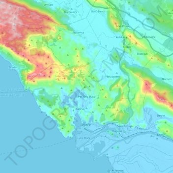
Name: Grad Ploče topographic map, elevation, terrain.
Location: Grad Ploče, Dubrovačko-neretvanska županija, Kroatië (43.01883 17.34288 43.15766 17.56551)
Average elevation: 139 m
Minimum elevation: -4 m
Maximum elevation: 859 m