
Nusantara topographic map
Interactive map
Click on the map to display elevation.
About this map
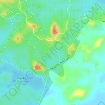
Name: Nusantara topographic map, elevation, terrain.
Location: Nusantara, Kalimantan oriental, Indonésie (-1.22081 116.51967 -0.90081 116.83967)
Average elevation: 62 m
Minimum elevation: -4 m
Maximum elevation: 583 m