
Thank you for supporting this site ❤️
Make a donation
Make a donation
Kampung Bongol topographic map
Click on the map to display elevation.
Thank you for supporting this site ❤️
Make a donation
Make a donation
About this map
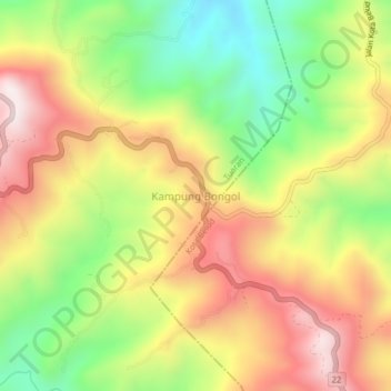
Name: Kampung Bongol topographic map, elevation, terrain.
Location: Kampung Bongol, Tuaran, West Coast Division, Sabah, Malaysia (6.08505 116.40253 6.12505 116.44253)
Average elevation: 534 m
Minimum elevation: 195 m
Maximum elevation: 875 m
Thank you for supporting this site ❤️
Make a donation
Make a donation