
Thank you for supporting this site ❤️
Make a donation
Make a donation
Mittur topographic map
Click on the map to display elevation.
Thank you for supporting this site ❤️
Make a donation
Make a donation
About this map
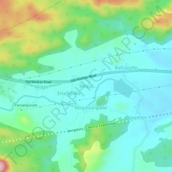
Name: Mittur topographic map, elevation, terrain.
Location: Mittur, Bangarupalem, Chittoor District, Andhra Pradesh, India (13.16530 78.82768 13.20530 78.86768)
Average elevation: 532 m
Minimum elevation: 462 m
Maximum elevation: 742 m
Thank you for supporting this site ❤️
Make a donation
Make a donation