
Gadiguda topographic map
Click on the map to display elevation.
About this map
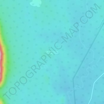
Name: Gadiguda topographic map, elevation, terrain.
Location: Gadiguda, Bijapur, Chhattisgarh, India (18.24756 80.87799 18.28756 80.91799)
Average elevation: 124 m
Minimum elevation: 100 m
Maximum elevation: 348 m