
Thank you for supporting this site ❤️
Make a donation
Make a donation
Hisarçandır topographic map
Click on the map to display elevation.
Thank you for supporting this site ❤️
Make a donation
Make a donation
About this map
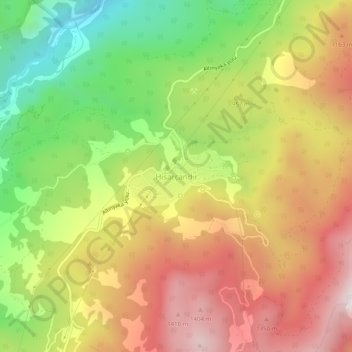
Name: Hisarçandır topographic map, elevation, terrain.
Location: Hisarçandır, Konyaaltı, Antalya, Mediterranean Region, Turkey (36.75060 30.44816 36.79060 30.48816)
Average elevation: 941 m
Minimum elevation: 342 m
Maximum elevation: 1,517 m
Thank you for supporting this site ❤️
Make a donation
Make a donation
Other topographic maps
Click on a map to view its topography, its elevation and its terrain.