
Molignon topographic map
Interactive map
Click on the map to display elevation.
About this map
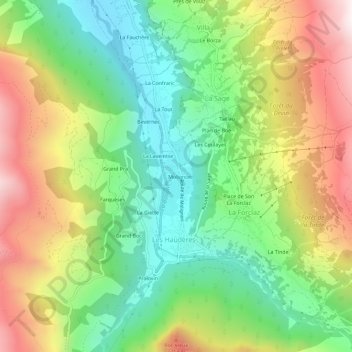
Name: Molignon topographic map, elevation, terrain.
Location: Molignon, Les Haudères, Evolène, Hérens, Valais, 1983, Suisse (46.06989 7.48797 46.10989 7.52797)
Average elevation: 1,817 m
Minimum elevation: 1,346 m
Maximum elevation: 2,494 m