
Thank you for supporting this site ❤️
Make a donation
Make a donation
Tatebayashi topographic map
Click on the map to display elevation.
Thank you for supporting this site ❤️
Make a donation
Make a donation
About this map
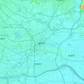
Name: Tatebayashi topographic map, elevation, terrain.
Location: Tatebayashi, Gunma Prefecture, Japan (36.21001 139.45911 36.28471 139.62564)
Average elevation: 23 m
Minimum elevation: 11 m
Maximum elevation: 181 m
Thank you for supporting this site ❤️
Make a donation
Make a donation