
Oedenburg topographic map
Interactive map
Click on the map to display elevation.
About this map
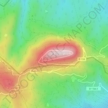
Name: Oedenburg topographic map, elevation, terrain.
Average elevation: 460 m
Minimum elevation: 290 m
Maximum elevation: 725 m
Other topographic maps
Click on a map to view its topography, its elevation and its terrain.
Hohkönigsburg
Frankreich > Großer Osten > Unterelsass > Orschweiler
Hohkönigsburg, D 159, Château du Haut-Kœnigsbourg, Orschweiler, Schlettstadt-Erstein, Unterelsass, Großer Osten, Metropolitanes Frankreich, 67600, Frankreich
Average elevation: 441 m