
Municipal District of Greenview topographic map
Interactive map
Click on the map to display elevation.
About this map
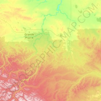
Name: Municipal District of Greenview topographic map, elevation, terrain.
Location: Municipal District of Greenview, Alberta, Canadá (53.80181 -120.00137 55.68101 -115.96744)
Average elevation: 927 m
Minimum elevation: 371 m
Maximum elevation: 2,602 m