
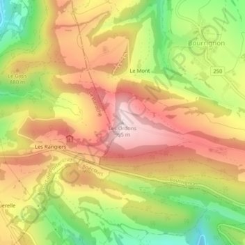
Les Ordons topographic map
Interactive map
Click on the map to display elevation.
About this map
Name: Les Ordons topographic map, elevation, terrain.
Location: Les Ordons, Bourrignon, District de Delémont, Jura, 2803, Suisse (47.38782 7.23130 47.38792 7.23140)
Average elevation: 804 m
Minimum elevation: 575 m
Maximum elevation: 994 m