
Thank you for supporting this site ❤️
Make a donation
Make a donation
Palani topographic map
Click on the map to display elevation.
Thank you for supporting this site ❤️
Make a donation
Make a donation
About this map
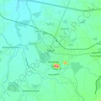
Name: Palani topographic map, elevation, terrain.
Location: Palani, Dindigul, Tamil Nadu, 624600, India (10.41111 77.47545 10.49111 77.55545)
Average elevation: 316 m
Minimum elevation: 288 m
Maximum elevation: 447 m
Thank you for supporting this site ❤️
Make a donation
Make a donation
Other topographic maps
Click on a map to view its topography, its elevation and its terrain.