
Ileje topographic map
Interactive map
Click on the map to display elevation.
About this map
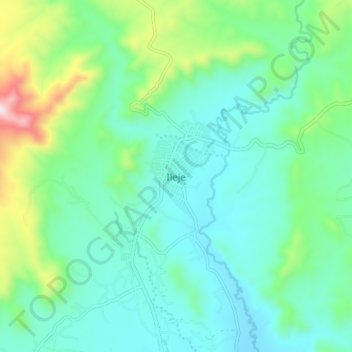
Name: Ileje topographic map, elevation, terrain.
Location: Ileje, Mbeya, Southern Highlands Zone, Tanzania (-9.45152 33.14549 -9.37152 33.22549)
Average elevation: 1,447 m
Minimum elevation: 1,281 m
Maximum elevation: 2,015 m