
Thank you for supporting this site ❤️
Make a donation
Make a donation
Mary Ann Township topographic map
Click on the map to display elevation.
Thank you for supporting this site ❤️
Make a donation
Make a donation
About this map
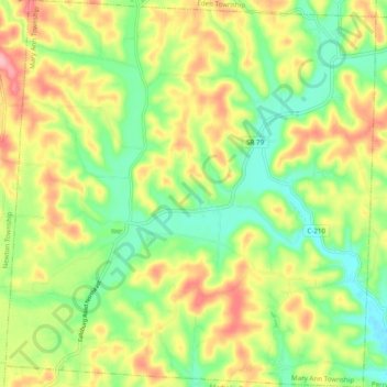
Name: Mary Ann Township topographic map, elevation, terrain.
Location: Mary Ann Township, Licking County, Ohio, United States (40.09845 -82.37538 40.17308 -82.28185)
Average elevation: 303 m
Minimum elevation: 246 m
Maximum elevation: 376 m
Thank you for supporting this site ❤️
Make a donation
Make a donation
Other topographic maps
Click on a map to view its topography, its elevation and its terrain.