
Thank you for supporting this site ❤️
Make a donation
Make a donation
Tannheim Mountains topographic map
Click on the map to display elevation.
Thank you for supporting this site ❤️
Make a donation
Make a donation
About this map
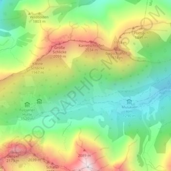
Name: Tannheim Mountains topographic map, elevation, terrain.
Location: Tannheim Mountains, Musau, Bezirk Reutte, Tyrol, 6672, Austria (47.51175 10.62947 47.51185 10.62957)
Average elevation: 1,646 m
Minimum elevation: 1,258 m
Maximum elevation: 2,221 m
Thank you for supporting this site ❤️
Make a donation
Make a donation