
Thank you for supporting this site ❤️
Make a donation
Make a donation
Rust topographic map
Click on the map to display elevation.
Thank you for supporting this site ❤️
Make a donation
Make a donation
About this map
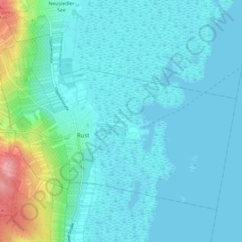
Name: Rust topographic map, elevation, terrain.
Location: Rust, Burgenland, 7071, Austria (47.78178 16.64203 47.82588 16.73178)
Average elevation: 126 m
Minimum elevation: 110 m
Maximum elevation: 221 m
Thank you for supporting this site ❤️
Make a donation
Make a donation