
Talamolle topographic map
Click on the map to display elevation.
About this map
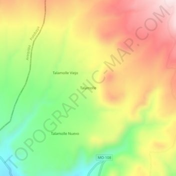
Name: Talamolle topographic map, elevation, terrain.
Location: Talamolle, Puquina, General Sánchez Cerro, Moquegua, Perú (-16.58498 -71.25425 -16.54498 -71.21425)
Average elevation: 3,618 m
Minimum elevation: 3,381 m
Maximum elevation: 3,852 m