
Thank you for supporting this site ❤️
Make a donation
Make a donation
Bad Düben topographic map
Click on the map to display elevation.
Thank you for supporting this site ❤️
Make a donation
Make a donation
About this map
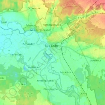
Name: Bad Düben topographic map, elevation, terrain.
Location: Bad Düben, Nordsachsen, Saxony, 04849, Germany (51.54128 12.48777 51.62795 12.64360)
Average elevation: 98 m
Minimum elevation: 81 m
Maximum elevation: 134 m
Thank you for supporting this site ❤️
Make a donation
Make a donation
Other topographic maps
Click on a map to view its topography, its elevation and its terrain.