
Hanover topographic map
Interactive map
Click on the map to display elevation.
About this map
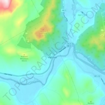
Name: Hanover topographic map, elevation, terrain.
Location: Hanover, Oxford County, Maine, 04237, États-Unis d'Amérique (44.47810 -70.78784 44.52247 -70.68644)
Average elevation: 285 m
Minimum elevation: 181 m
Maximum elevation: 737 m