
Thank you for supporting this site ❤️
Make a donation
Make a donation
La Dehesa topographic map
Click on the map to display elevation.
Thank you for supporting this site ❤️
Make a donation
Make a donation
About this map
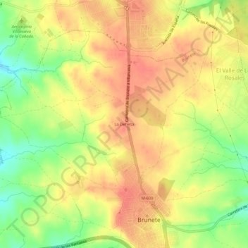
Name: La Dehesa topographic map, elevation, terrain.
Location: La Dehesa, Brunete, Comunidad de Madrid, 28690, España (40.40049 -4.02324 40.44049 -3.98324)
Average elevation: 644 m
Minimum elevation: 610 m
Maximum elevation: 665 m
Thank you for supporting this site ❤️
Make a donation
Make a donation