
Ngousso topographic map
Interactive map
Click on the map to display elevation.
About this map
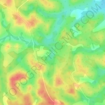
Name: Ngousso topographic map, elevation, terrain.
Location: Ngousso, Magba, Noun, Région de l'Ouest, Cameroun (6.00941 11.16753 6.04941 11.20753)
Average elevation: 726 m
Minimum elevation: 698 m
Maximum elevation: 753 m