
Thank you for supporting this site ❤️
Make a donation
Make a donation
Bishopville topographic map
Click on the map to display elevation.
Thank you for supporting this site ❤️
Make a donation
Make a donation
About this map
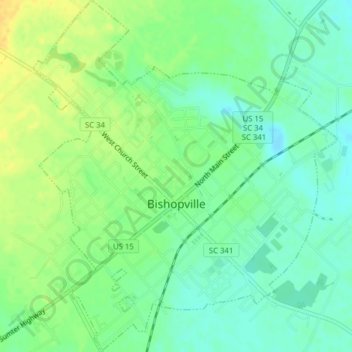
Name: Bishopville topographic map, elevation, terrain.
Location: Bishopville, Lee County, South Carolina, United States (34.20462 -80.26435 34.23692 -80.23056)
Average elevation: 68 m
Minimum elevation: 57 m
Maximum elevation: 82 m
Thank you for supporting this site ❤️
Make a donation
Make a donation
Other topographic maps
Click on a map to view its topography, its elevation and its terrain.