
Thank you for supporting this site ❤️
Make a donation
Make a donation
Rivière topographic map
Click on the map to display elevation.
Thank you for supporting this site ❤️
Make a donation
Make a donation
About this map
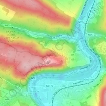
Name: Rivière topographic map, elevation, terrain.
Location: Rivière, Profondeville, Namur, Wallonie, Belgique (50.35089 4.84334 50.36361 4.87872)
Average elevation: 161 m
Minimum elevation: 74 m
Maximum elevation: 281 m
Thank you for supporting this site ❤️
Make a donation
Make a donation