
Tanjung Emas topographic map
Interactive map
Click on the map to display elevation.
About this map
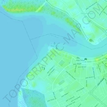
Name: Tanjung Emas topographic map, elevation, terrain.
Location: Tanjung Emas, Muar, Johor, Malaysia (2.04641 102.55089 2.04856 102.55367)
Average elevation: 4 m
Minimum elevation: 0 m
Maximum elevation: 14 m
Other topographic maps
Click on a map to view its topography, its elevation and its terrain.