
Thank you for supporting this site ❤️
Make a donation
Make a donation
Khandoli topographic map
Click on the map to display elevation.
Thank you for supporting this site ❤️
Make a donation
Make a donation
About this map
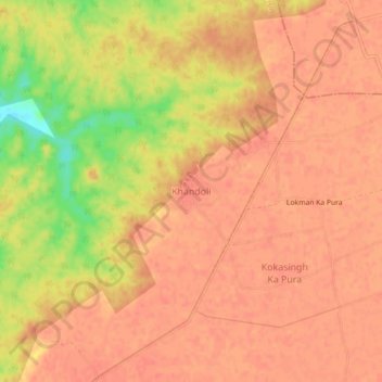
Name: Khandoli topographic map, elevation, terrain.
Location: Khandoli, Joura Tahsil, Morena, Madhya Pradesh, India (26.54980 77.84262 26.58980 77.88262)
Average elevation: 169 m
Minimum elevation: 129 m
Maximum elevation: 180 m
Thank you for supporting this site ❤️
Make a donation
Make a donation
Other topographic maps
Click on a map to view its topography, its elevation and its terrain.