
Sungai Cherating topographic map
Interactive map
Click on the map to display elevation.
About this map
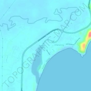
Name: Sungai Cherating topographic map, elevation, terrain.
Location: Sungai Cherating, Cherating, Kuantan, Pahang, Malaysia (4.11499 103.37324 4.13765 103.39823)
Average elevation: 5 m
Minimum elevation: 0 m
Maximum elevation: 69 m