
Thank you for supporting this site ❤️
Make a donation
Make a donation
Pulong topographic map
Click on the map to display elevation.
Thank you for supporting this site ❤️
Make a donation
Make a donation
About this map
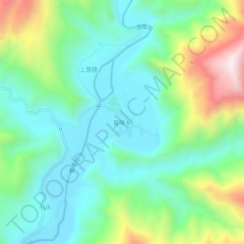
Name: Pulong topographic map, elevation, terrain.
Location: Pulong, Liangshan Yi Autonomous Prefecture, Sichuan, China (26.19704 102.10403 26.23704 102.14403)
Average elevation: 1,182 m
Minimum elevation: 977 m
Maximum elevation: 1,691 m
Thank you for supporting this site ❤️
Make a donation
Make a donation
Other topographic maps
Click on a map to view its topography, its elevation and its terrain.