
Thank you for supporting this site ❤️
Make a donation
Make a donation
La Jota topographic map
Click on the map to display elevation.
Thank you for supporting this site ❤️
Make a donation
Make a donation
About this map
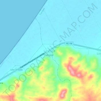
Name: La Jota topographic map, elevation, terrain.
Location: La Jota, Corrales, Tumbes, Perú (-3.63785 -80.57023 -3.59785 -80.53023)
Average elevation: 32 m
Minimum elevation: -1 m
Maximum elevation: 146 m
Thank you for supporting this site ❤️
Make a donation
Make a donation