
Thank you for supporting this site ❤️
Make a donation
Make a donation
Djebel Sened topographic map
Click on the map to display elevation.
Thank you for supporting this site ❤️
Make a donation
Make a donation
About this map
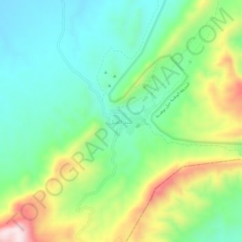
Name: Djebel Sened topographic map, elevation, terrain.
Location: Djebel Sened, السند, معتمدية السند, Gafsa, Tunisia (34.44320 9.24293 34.48320 9.28293)
Average elevation: 675 m
Minimum elevation: 517 m
Maximum elevation: 989 m
Thank you for supporting this site ❤️
Make a donation
Make a donation