
Thank you for supporting this site ❤️
Make a donation
Make a donation
Blehen topographic map
Click on the map to display elevation.
Thank you for supporting this site ❤️
Make a donation
Make a donation
About this map
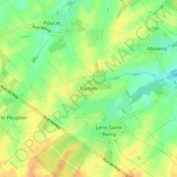
Name: Blehen topographic map, elevation, terrain.
Location: Blehen, Hannut, Waremme, Liège, Wallonie, 4280, Belgique (50.64293 5.10554 50.68293 5.14554)
Average elevation: 140 m
Minimum elevation: 123 m
Maximum elevation: 157 m
Thank you for supporting this site ❤️
Make a donation
Make a donation