
Jabal Sari Mirdkan topographic map
Interactive map
Click on the map to display elevation.
About this map
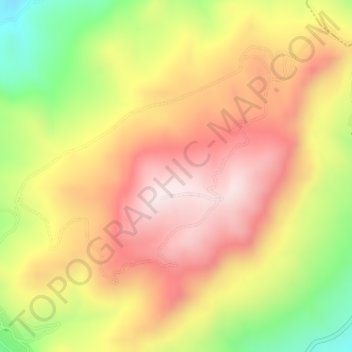
Name: Jabal Sari Mirdkan topographic map, elevation, terrain.
Location: Jabal Sari Mirdkan, Sulaymaniyah, Iraqi Kurdistan, 46001, Iraq (35.73439 45.58952 35.73449 45.58962)
Average elevation: 1,357 m
Minimum elevation: 1,058 m
Maximum elevation: 1,582 m
Other topographic maps
Click on a map to view its topography, its elevation and its terrain.
Qada as Sulaymaniyah
Iraq > Iraqi Kurdistan > Sulaymaniyah
Qada as Sulaymaniyah, Sulaymaniyah, Iraqi Kurdistan, 46001, Iraq
Average elevation: 795 m