
Amity topographic map
Click on the map to display elevation.
About this map
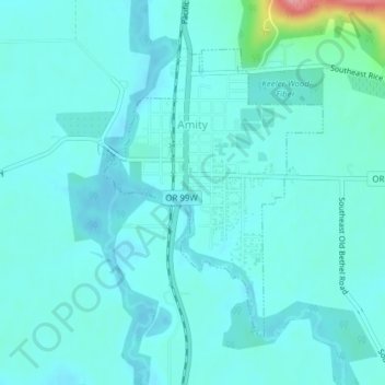
Name: Amity topographic map, elevation, terrain.
Location: Amity, Yamhill County, Oregon, United States (45.10317 -123.21496 45.12339 -123.19261)
Average elevation: 51 m
Minimum elevation: 36 m
Maximum elevation: 149 m
Other topographic maps
Click on a map to view its topography, its elevation and its terrain.