
Thank you for supporting this site ❤️
Make a donation
Make a donation
Piedras Blancas - Matasano topographic map
Click on the map to display elevation.
Thank you for supporting this site ❤️
Make a donation
Make a donation
About this map
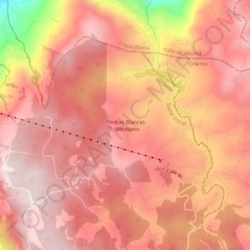
Name: Piedras Blancas - Matasano topographic map, elevation, terrain.
Average elevation: 2,426 m
Minimum elevation: 2,010 m
Maximum elevation: 2,574 m
Thank you for supporting this site ❤️
Make a donation
Make a donation
Other topographic maps
Click on a map to view its topography, its elevation and its terrain.
Comuna 13 - San Javier
Colombia > Antioquia > Medellín
Comuna 13's geography has played a role in how criminal actors took advantage of the commune as a strategic location, using elevation to better survey the movement of police and rival groups. The elevation additionally played a historical role, as Comuna 13 began as a farming community.
Average elevation: 1,713 m
Thank you for supporting this site ❤️
Make a donation
Make a donation