
Batang Ai topographic map
Interactive map
Click on the map to display elevation.
About this map
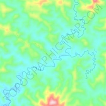
Name: Batang Ai topographic map, elevation, terrain.
Location: Batang Ai, Lubok Antu, Sri Aman Division, Sarawak, Malaysia (1.26686 111.79252 1.31833 111.83242)
Average elevation: 122 m
Minimum elevation: 45 m
Maximum elevation: 331 m