
Toudja topographic map
Interactive map
Click on the map to display elevation.
About this map
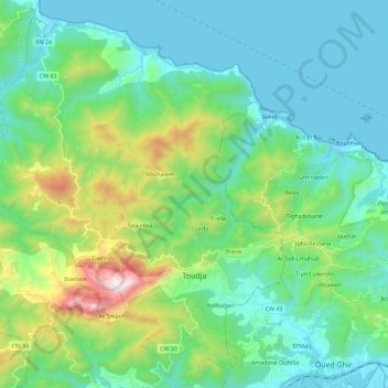
Name: Toudja topographic map, elevation, terrain.
Location: Toudja, El Kseur District, Bejaia, 06030, Algeria (36.69945 4.77278 36.88053 4.94979)
Average elevation: 286 m
Minimum elevation: 0 m
Maximum elevation: 1,300 m