
Hautregard topographic map
Interactive map
Click on the map to display elevation.
About this map
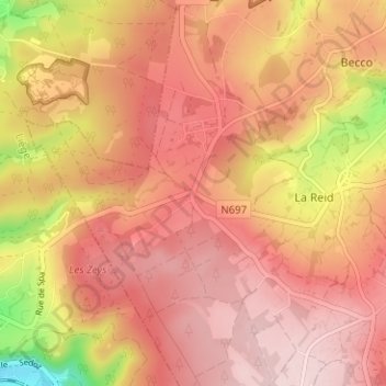
Name: Hautregard topographic map, elevation, terrain.
Location: Hautregard, La Reid, Theux, Luik, Wallonië, 4910, België (50.46798 5.74608 50.50798 5.78608)
Average elevation: 328 m
Minimum elevation: 146 m
Maximum elevation: 414 m