
Hidden Lake topographic map
Interactive map
Click on the map to display elevation.
About this map
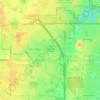
Name: Hidden Lake topographic map, elevation, terrain.
Location: Hidden Lake, Cook County, Illinois, 60074, USA (42.12322 -88.03259 42.16322 -87.99259)
Average elevation: 225 m
Minimum elevation: 204 m
Maximum elevation: 238 m