
Latrigg topographic map
Click on the map to display elevation.
About this map
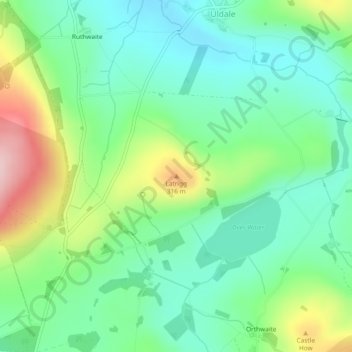
Name: Latrigg topographic map, elevation, terrain.
Location: Latrigg, Uldale, Cumberland, England, CA7 1HH, United Kingdom (54.70901 -3.17212 54.70911 -3.17202)
Average elevation: 228 m
Minimum elevation: 159 m
Maximum elevation: 376 m