
Valsavarenche topographic map
Interactive map
Click on the map to display elevation.
About this map
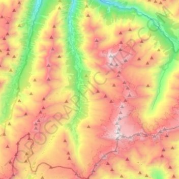
Name: Valsavarenche topographic map, elevation, terrain.
Location: Valsavarenche, Valle de Aosta, 11010, Italia (45.47048 7.13692 45.65284 7.28502)
Average elevation: 2,543 m
Minimum elevation: 1,111 m
Maximum elevation: 4,016 m
Other topographic maps
Click on a map to view its topography, its elevation and its terrain.
Gran Paradiso
Italia > Valle de Aosta > Valsavarenche
Gran Paradiso, Valsavarenche, Valle de Aosta, Italia
Average elevation: 3,459 m