
Nesselböden topographic map
Interactive map
Click on the map to display elevation.
About this map
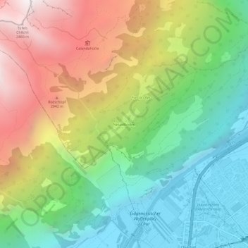
Name: Nesselböden topographic map, elevation, terrain.
Location: Nesselböden, Coire, Plessur, Grisons, 7004, Suisse (46.84988 9.47084 46.88988 9.51084)
Average elevation: 1,330 m
Minimum elevation: 553 m
Maximum elevation: 2,521 m