
Thank you for supporting this site ❤️
Make a donation
Make a donation
Kumara Parvatha topographic map
Click on the map to display elevation.
Thank you for supporting this site ❤️
Make a donation
Make a donation
About this map
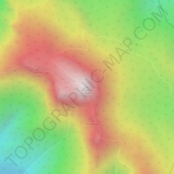
Name: Kumara Parvatha topographic map, elevation, terrain.
Location: Kumara Parvatha, Somawarpet taluk, Kodagu, Karnataka, India (12.66228 75.68652 12.66238 75.68662)
Average elevation: 1,227 m
Minimum elevation: 652 m
Maximum elevation: 1,711 m
Thank you for supporting this site ❤️
Make a donation
Make a donation