
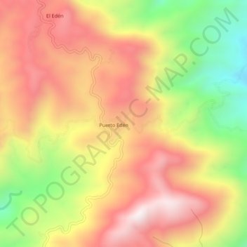
Puerto Edén topographic map
Interactive map
Click on the map to display elevation.
About this map
Name: Puerto Edén topographic map, elevation, terrain.
Location: Puerto Edén, Técpan de Galeana, Guerrero, Mexiko (17.45694 -100.77000 17.49694 -100.73000)
Average elevation: 1,276 m
Minimum elevation: 796 m
Maximum elevation: 1,653 m