
Thank you for supporting this site ❤️
Make a donation
Make a donation
Hell Roaring topographic map
Click on the map to display elevation.
Thank you for supporting this site ❤️
Make a donation
Make a donation
About this map
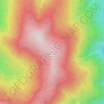
Name: Hell Roaring topographic map, elevation, terrain.
Location: Hell Roaring, Boundary County, Idaho, USA (48.90867 -116.22047 48.90877 -116.22037)
Average elevation: 1,592 m
Minimum elevation: 1,209 m
Maximum elevation: 1,822 m
Thank you for supporting this site ❤️
Make a donation
Make a donation