
Kasteel Bouvigne topographic map
Interactive map
Click on the map to display elevation.
About this map
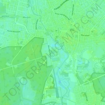
Name: Kasteel Bouvigne topographic map, elevation, terrain.
Average elevation: 6 m
Minimum elevation: 0 m
Maximum elevation: 9 m
Other topographic maps
Click on a map to view its topography, its elevation and its terrain.
Kasteel van Breda
Nederland > Noord-Brabant > Breda
Kasteel van Breda, Jan van Polanenweg, Valkenberg, Centrum, Breda, Noord-Brabant, Nederland, 4811XC, Nederland
Average elevation: 5 m