
Thank you for supporting this site ❤️
Make a donation
Make a donation
Gessie topographic map
Click on the map to display elevation.
Thank you for supporting this site ❤️
Make a donation
Make a donation
About this map
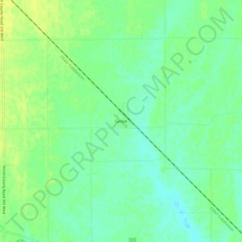
Name: Gessie topographic map, elevation, terrain.
Location: Gessie, Vermillion County, Indiana, 47974, USA (40.06254 -87.51974 40.10254 -87.47974)
Average elevation: 190 m
Minimum elevation: 181 m
Maximum elevation: 199 m
Thank you for supporting this site ❤️
Make a donation
Make a donation