
Amonines topographic map
Interactive map
Click on the map to display elevation.
About this map
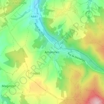
Name: Amonines topographic map, elevation, terrain.
Location: Amonines, Érezée, Luxembourg, Wallonie, 6997, Belgique (50.24552 5.53715 50.28552 5.57715)
Average elevation: 356 m
Minimum elevation: 267 m
Maximum elevation: 497 m