
Großvolderberg topographic map
Interactive map
Click on the map to display elevation.
About this map
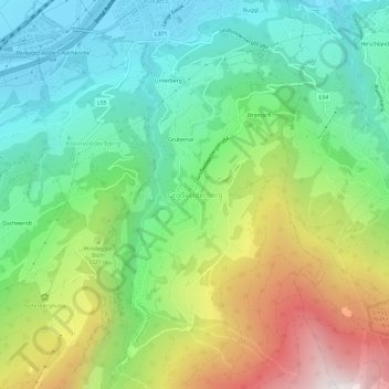
Name: Großvolderberg topographic map, elevation, terrain.
Location: Großvolderberg, Bezirk Innsbruck-Land, Tirol, 6111, Oostenrijk (47.24730 11.55121 47.28730 11.59121)
Average elevation: 1,056 m
Minimum elevation: 550 m
Maximum elevation: 2,004 m