Johnston Corners topographic map
Interactive map
Click on the map to display elevation.
About this map
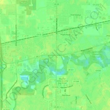
Name: Johnston Corners topographic map, elevation, terrain.
Average elevation: 191 m
Minimum elevation: 182 m
Maximum elevation: 196 m

Click on the map to display elevation.
Name: Johnston Corners topographic map, elevation, terrain.
Average elevation: 191 m
Minimum elevation: 182 m
Maximum elevation: 196 m