
Perk topographic map
Interactive map
Click on the map to display elevation.
About this map
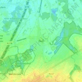
Name: Perk topographic map, elevation, terrain.
Location: Perk, Steenockerzeel, Brabant flamand, Flandre, 1820, Belgique (50.91316 4.47607 50.95316 4.51607)
Average elevation: 15 m
Minimum elevation: 5 m
Maximum elevation: 31 m