
Thank you for supporting this site ❤️
Make a donation
Make a donation
Plaquemines Parish topographic map
Click on the map to display elevation.
Thank you for supporting this site ❤️
Make a donation
Make a donation
About this map
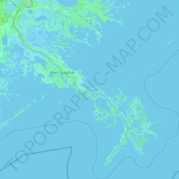
Name: Plaquemines Parish topographic map, elevation, terrain.
Location: Plaquemines Parish, Louisiana, United States of America (28.85513 -90.07568 29.90421 -88.87924)
Average elevation: 0 m
Minimum elevation: -4 m
Maximum elevation: 17 m
Thank you for supporting this site ❤️
Make a donation
Make a donation
Other topographic maps
Click on a map to view its topography, its elevation and its terrain.